
 Login
Login
Truman Reservoir, Missouri (North) Waterproof Map (Fishing Hot Spots) – Lake Maps
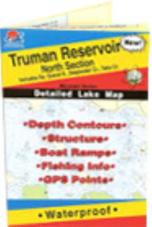 |
Truman Reservoir, Missouri (North) Waterproof Map (Fishing Hot Spots)Includes South Grand River, Deepwater Creek, Tebo Creek
More than 150,000 acres of public land surrounds the lake and offers excellent recreational opportunities including hiking, horseback riding and hunting. Oh yeah, the fishing's great too! This is the premier series of Fishing Hot Spots maps. Each detailed maps provides depth contours, structure, boat ramps and updated fishing information, with productive spots marked on the map. You'll also find a complete lat/long grid and dozens of GPS waypoints. These four-color maps are as easy-to-use as they are to read! Size - 24 x36
$16.45
Shipping: 0.00
Category: Lake Maps Vendor: Fishing Hot Spots Vendor Item #: L163 Inventory: 0 Dated Added: |
|
Quick Links Harry S. Truman Reservoir News Harry S. Truman Reservoir Photos Harry S. Truman Reservoir Videos |


